10th Mar, 2026
Everest Base Camp Map Guide: Complete Route and Trekking Stages
Introduction
Every Everest Base Camp trek begins with a question: What does the route actually look like? Many trekkers hear names such as Lukla, Namche Bazaar, Dingboche, and Gorak Shep, yet the full journey remains unclear without a proper map.
Table of Contents
An Everest Base Camp map helps trekkers understand the route, elevation gain, trekking stages, and acclimatization points before arriving in Nepal. The trek crosses the Khumbu region, passes through Sherpa villages, suspension bridges, glaciers, and finally reaches the base camp of the world’s highest mountain.
A detailed trekking map shows the path from Lukla to Everest Base Camp and explains why the itinerary includes rest days and gradual altitude gain. Understanding the route helps trekkers prepare physically, manage altitude, and visualize the journey ahead.
This guide from Northern Trekking Team explains the Everest Base Camp route, major villages, trekking distances, altitude profile, and daily stages. By the end, trekkers gain a clear understanding of how the trail unfolds across the Himalayas.
Everest Base Camp Trek Route Overview
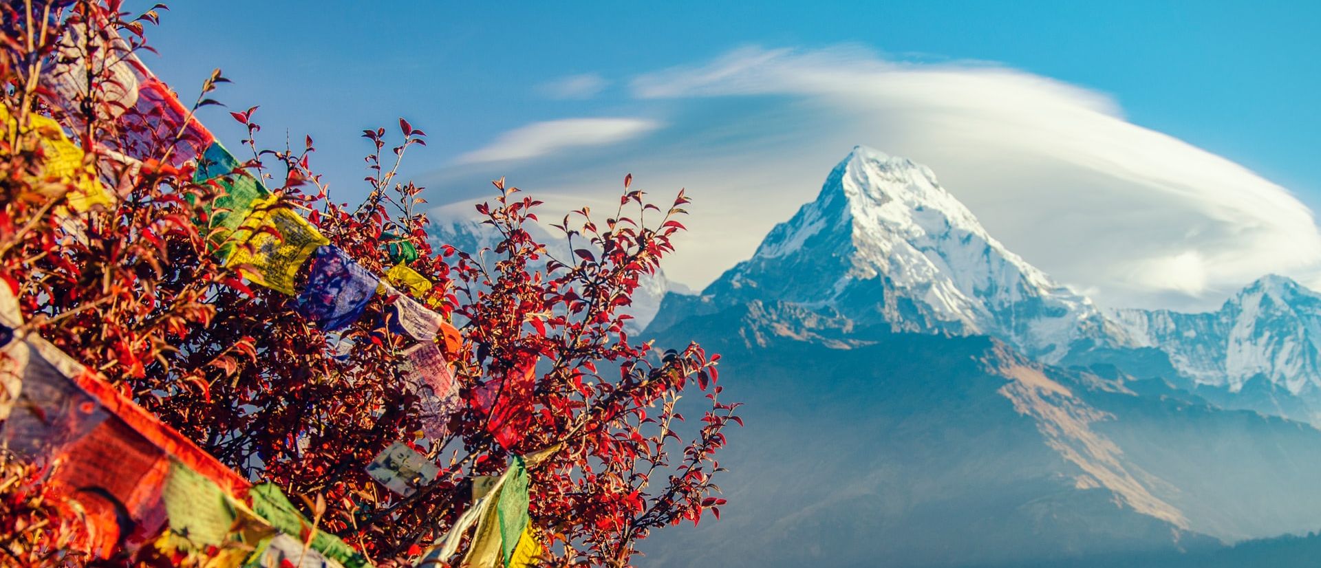
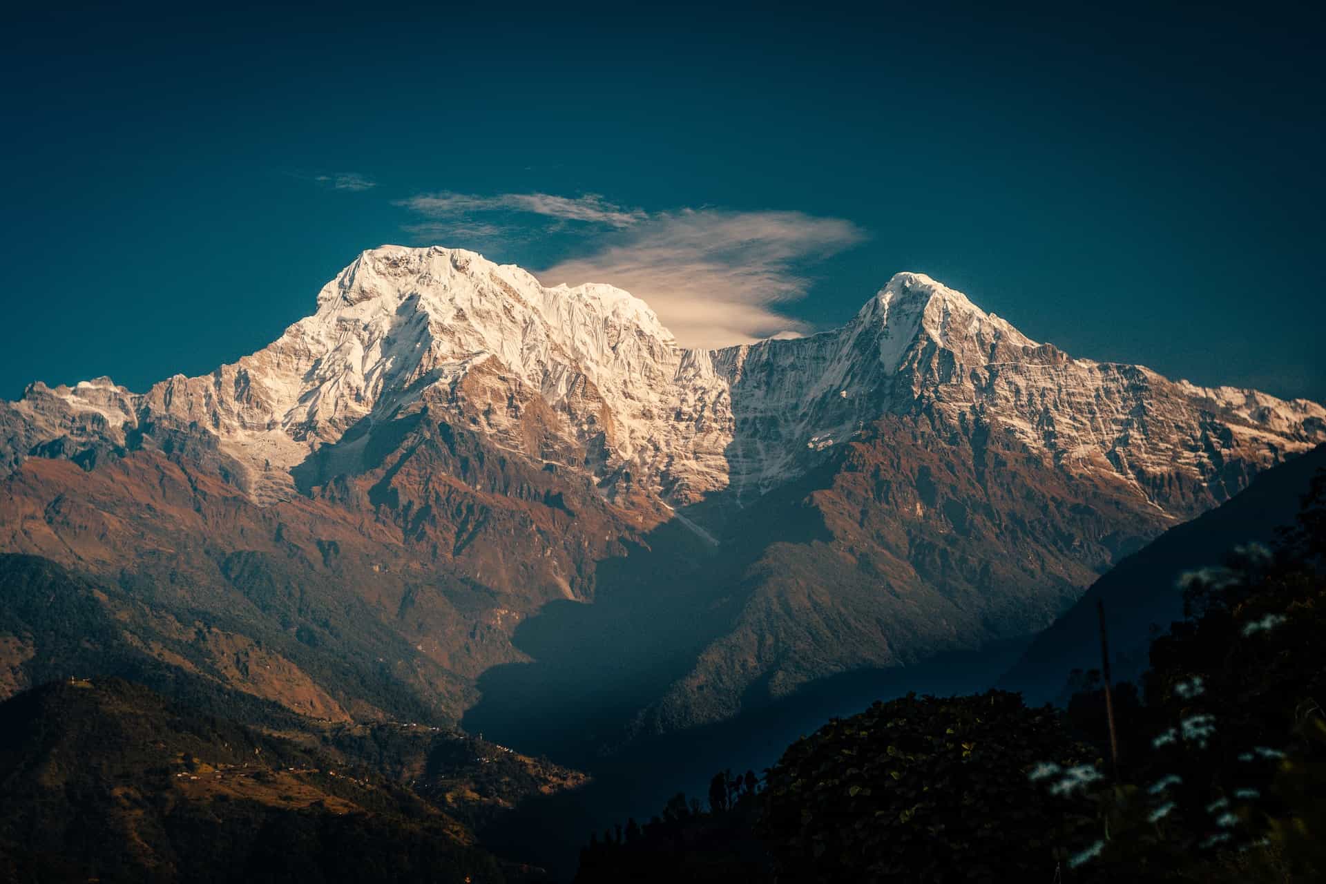
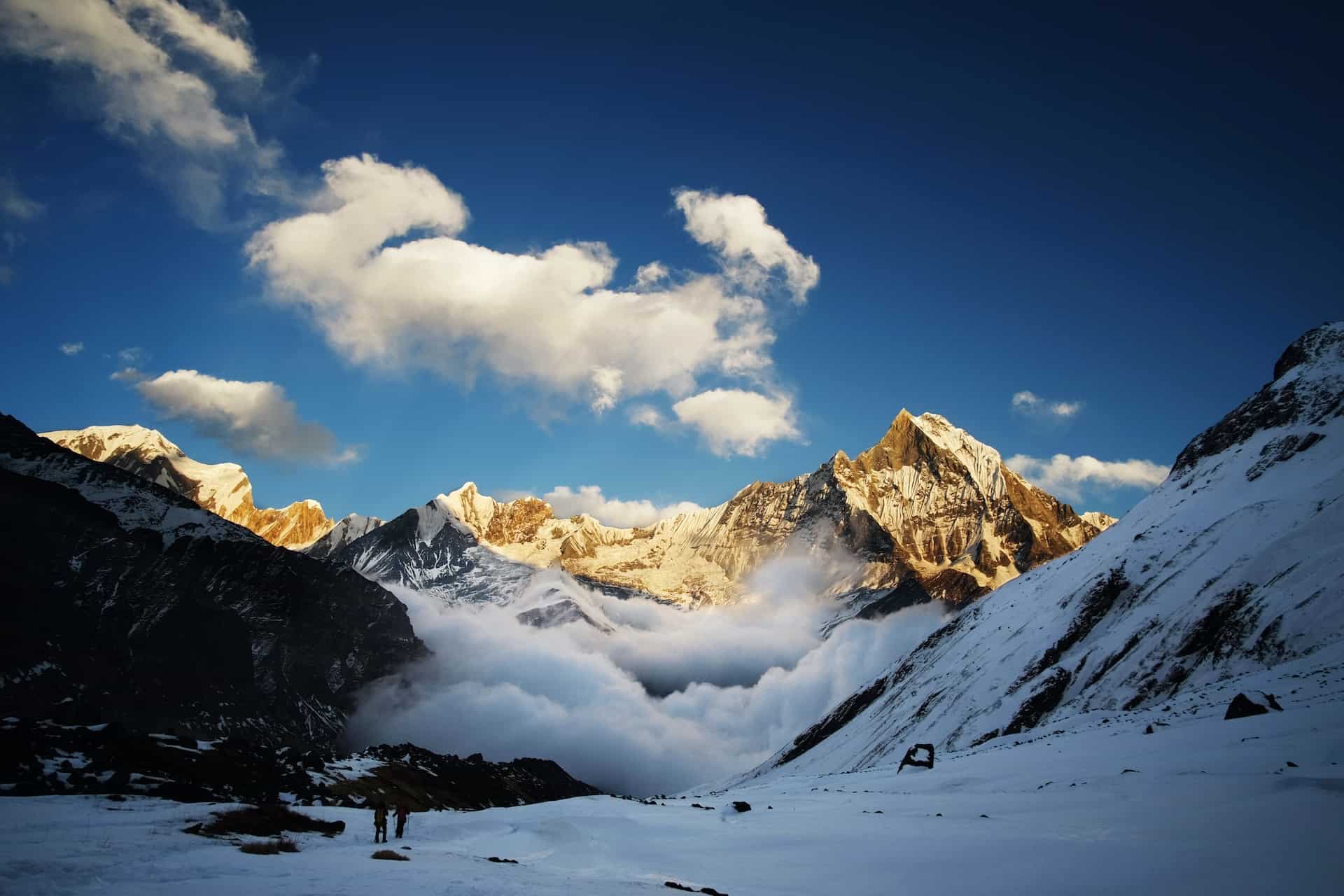
The Everest Base Camp trek lies inside Sagarmatha National Park, a protected Himalayan region in eastern Nepal. The journey begins with a mountain flight from Kathmandu to Lukla.
The trail follows the Dudh Koshi River valley, climbs gradually toward Namche Bazaar, and continues into higher alpine terrain until reaching Everest Base Camp.
Total Trek Distance
The full Everest Base Camp trek covers about:
• 130 kilometers round trip
• 12 to 14 days trekking duration
• Maximum elevation around 5,545 meters at Kala Patthar
The map reveals how the trail gradually climbs through valleys before entering the high-altitude Khumbu glacier region.
Everest Base Camp Map: Key Trekking Stages
The Everest Base Camp route consists of several major villages where trekkers rest, eat, and acclimatize.
Lukla (2,860 m)
The trek begins after landing at Tenzing-Hillary Airport in Lukla. This mountain airport sits on a narrow ridge and marks the gateway to the Khumbu region.
Trekkers begin walking immediately after landing. The trail descends slightly before following the Dudh Koshi River valley.
Distance to Phakding: about 8 km
Walking time: 3–4 hours
Phakding (2,610 m)
Phakding serves as the first overnight stop. The village sits beside the river and offers comfortable tea houses for trekkers.
The next day’s trail includes several suspension bridges crossing the Dudh Koshi River.
Namche Bazaar (3,440 m)
Namche Bazaar stands as the largest Sherpa town in the Khumbu region and a major acclimatization stop.
The climb to Namche becomes the first challenging section of the trek. A steep ascent begins after crossing the famous Hillary Suspension Bridge.
Distance from Phakding: 11 km
Walking time: 5–6 hours
Trekkers spend two nights here for acclimatization.
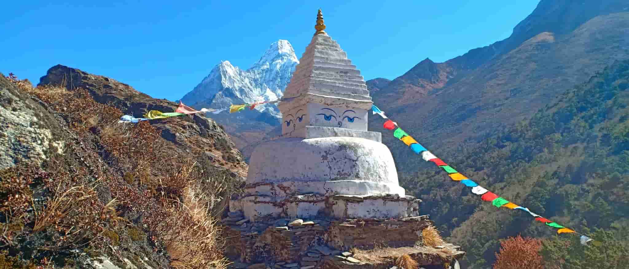
Tengboche (3,860 m)
After Namche, the trail passes through rhododendron forests and panoramic viewpoints of Mount Everest, Ama Dablam, and Lhotse.
Tengboche is famous for the Tengboche Monastery, the largest Buddhist monastery in the region.
Distance from Namche: 10 km
Walking time: 5 hours
Dingboche (4,410 m)
The landscape changes significantly beyond Tengboche. Forests disappear and open alpine valleys dominate the terrain.
Dingboche serves as the second major acclimatization stop.
Trekkers often hike to Nagarjun Hill (5,100 m) for acclimatization views.
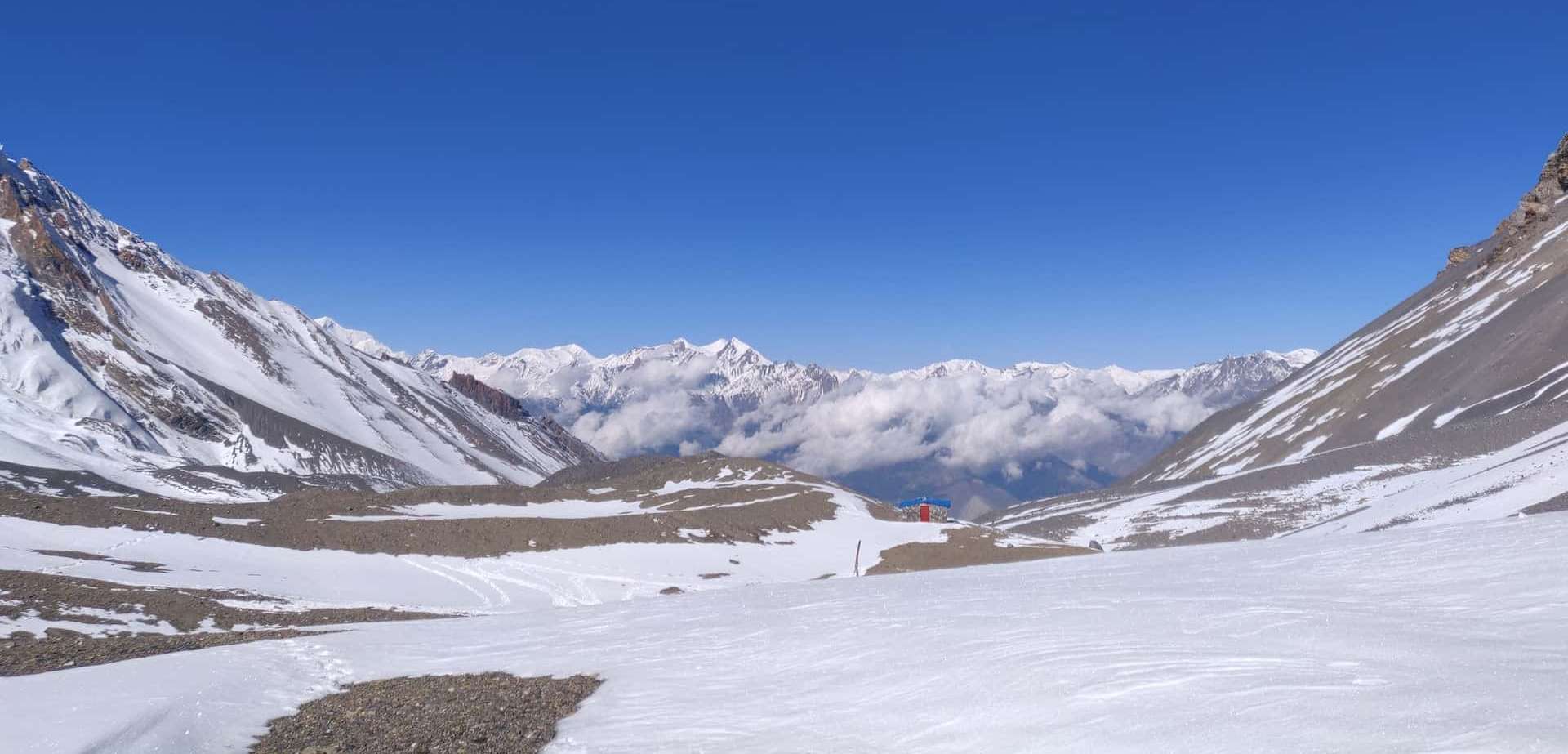
Lobuche (4,940 m)
The trail enters the Khumbu glacier area. Rocky moraine landscapes replace green valleys.
Trekkers pass memorials dedicated to climbers who lost their lives on Mount Everest.
Walking time from Dingboche: 5 hours
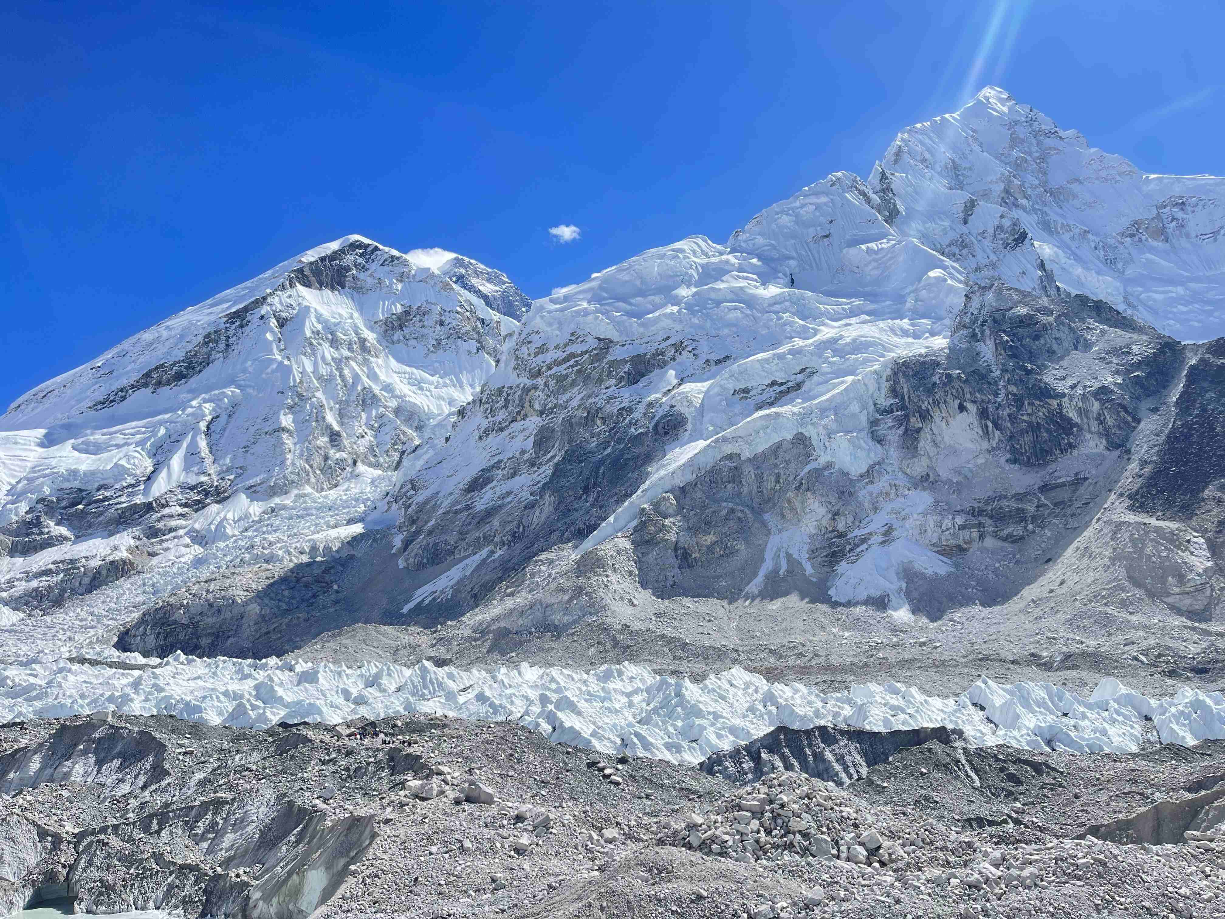
Gorak Shep (5,164 m)
Gorak Shep marks the final settlement before Everest Base Camp. The area sits beside the Khumbu Glacier.
Trekkers usually reach Gorak Shep by midday and continue toward base camp.
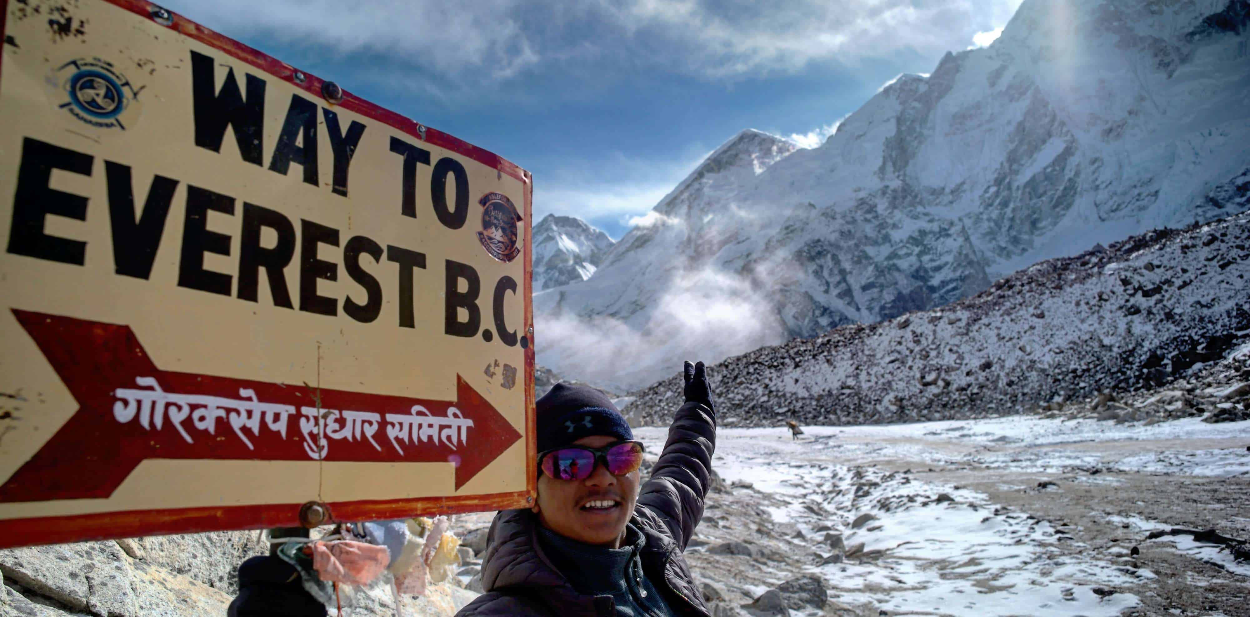
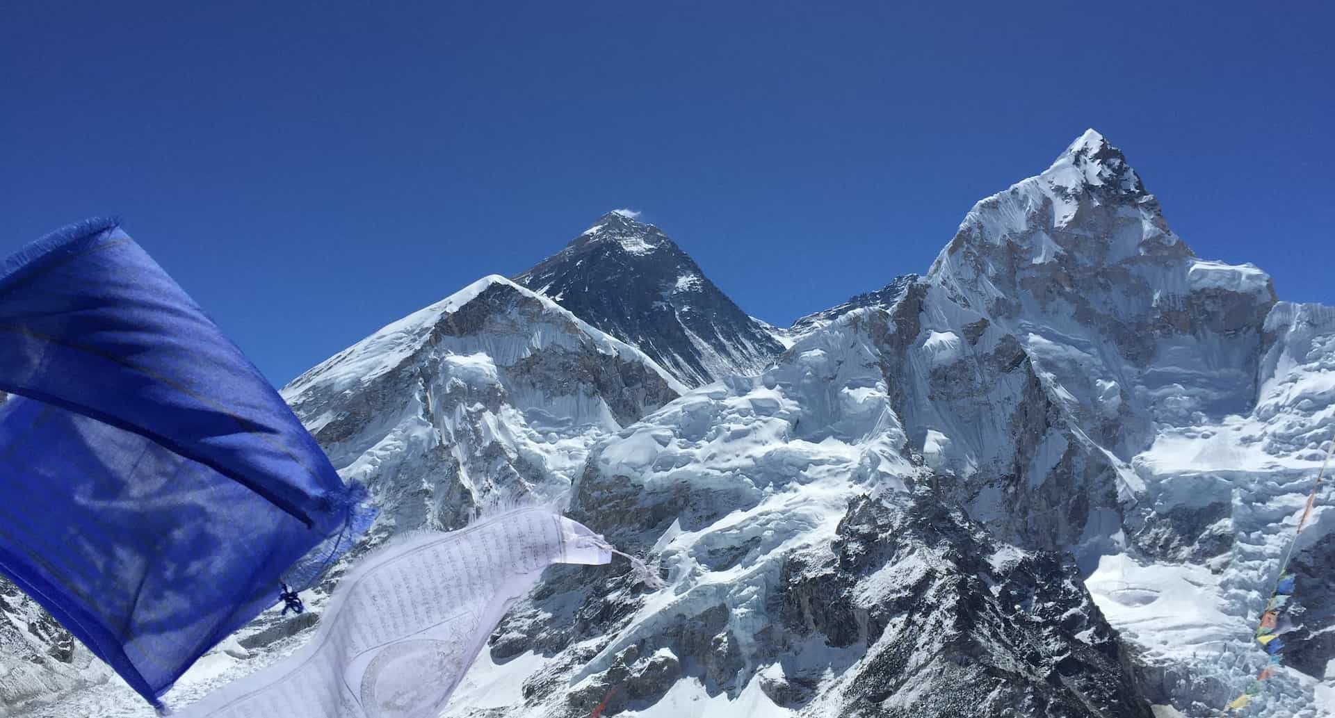
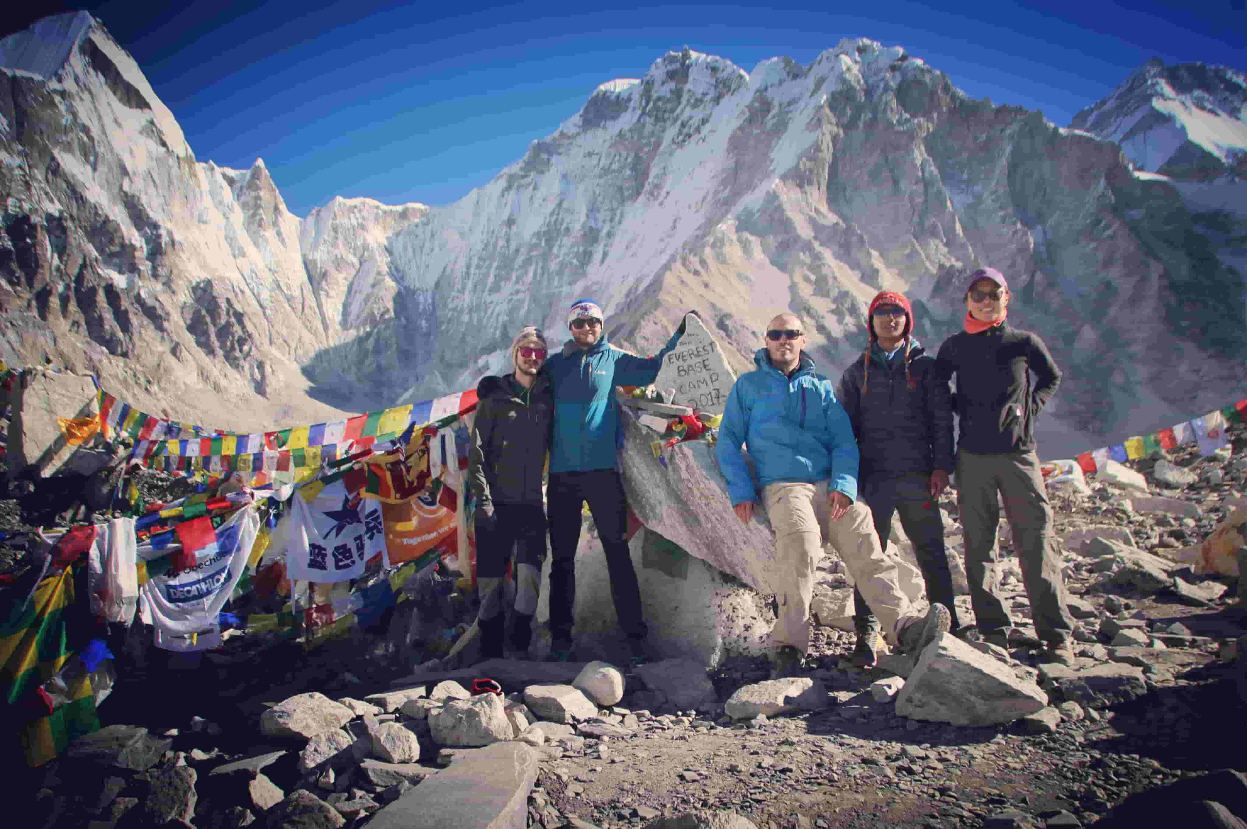
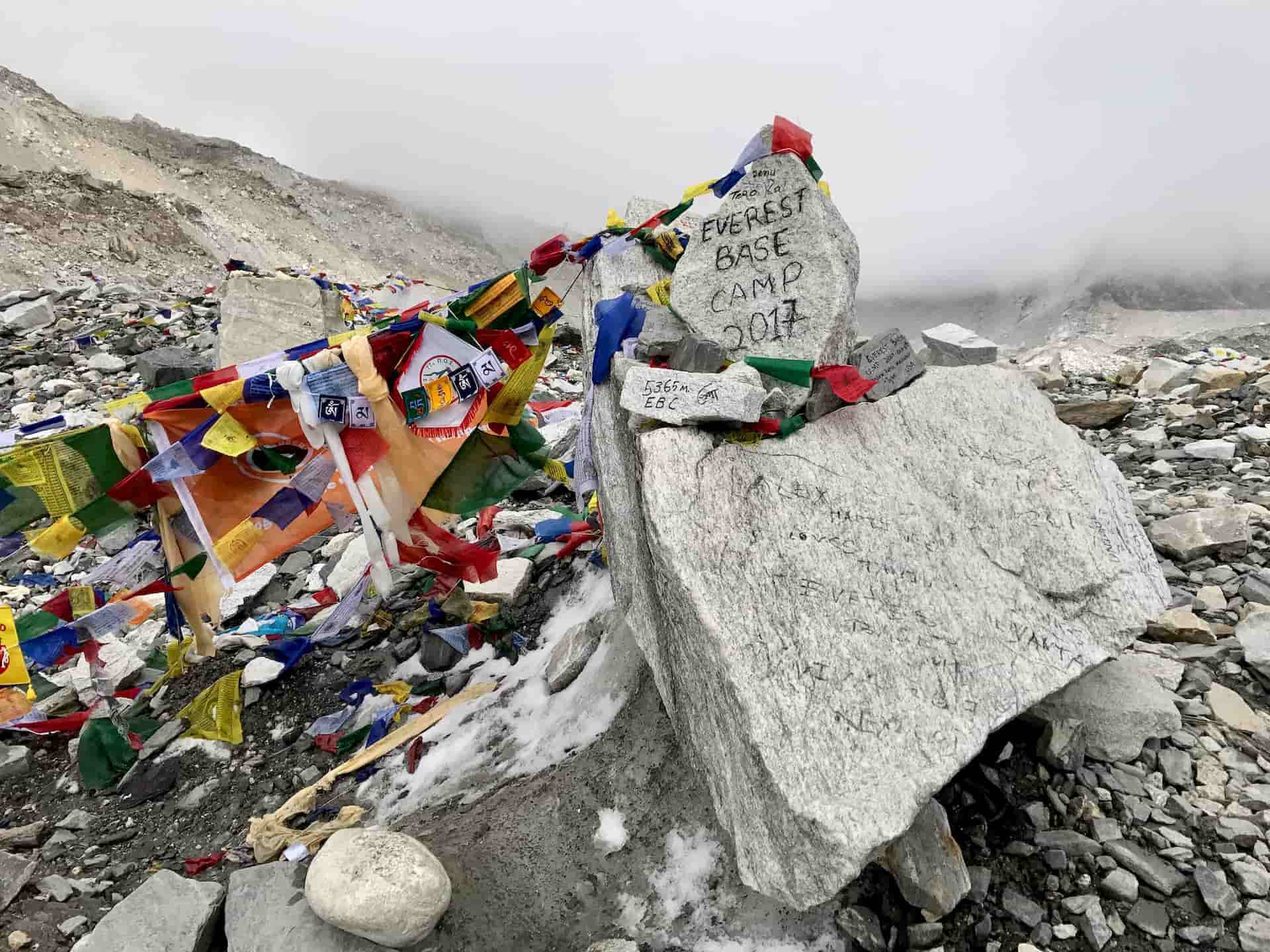
Everest Base Camp (5,364 m)
Everest Base Camp lies beneath the Khumbu Icefall. Climbers gather here during the Everest expedition season.
Trekkers celebrate reaching the destination and return to Gorak Shep afterward.
Distance from Gorak Shep: 3 km
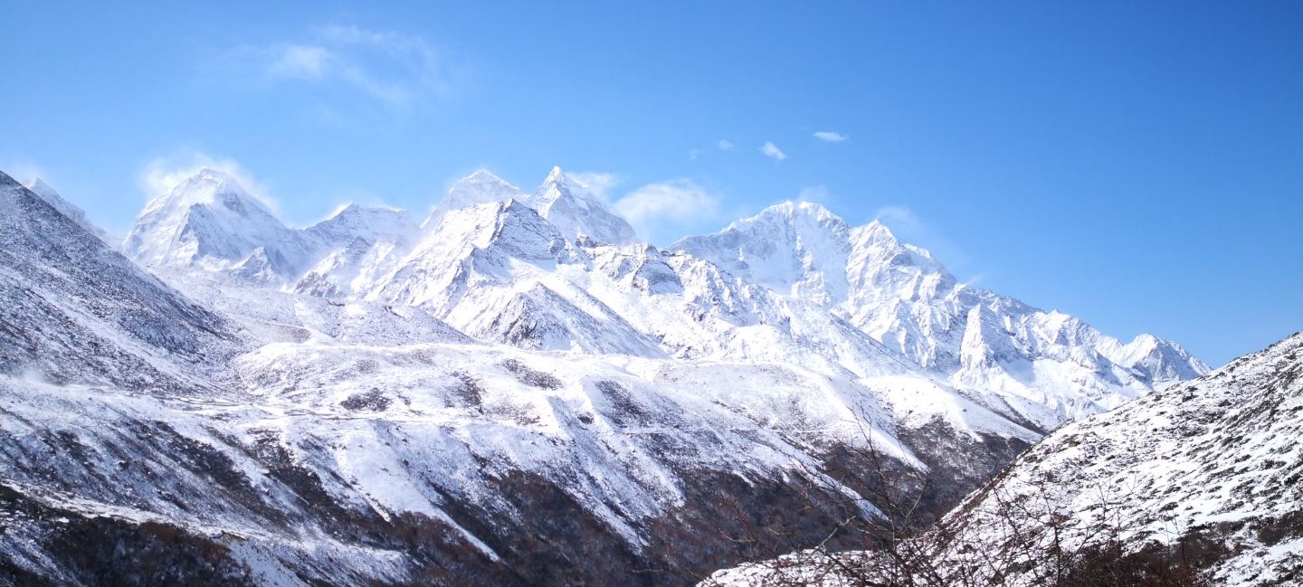
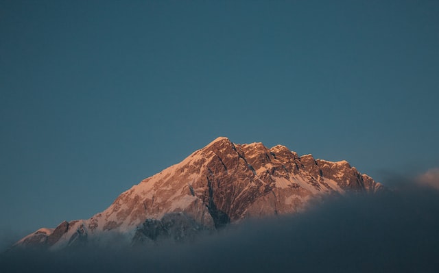
Everest Base Camp Elevation Profile
Altitude increases steadily throughout the trek.
Major elevation points include:
• Lukla – 2,860 m
• Namche Bazaar – 3,440 m
• Tengboche – 3,860 m
• Dingboche – 4,410 m
• Lobuche – 4,940 m
• Gorak Shep – 5,164 m
• Everest Base Camp – 5,364 m
• Kala Patthar – 5,545 m
The map shows why acclimatization days remain essential. Rapid altitude gain increases the risk of altitude sickness.
Everest Base Camp Trek Map Explained
A standard Everest Base Camp map includes several key elements.
Route Path
The map shows the main trekking trail connecting villages.
Elevation Profile
Most maps include altitude charts that illustrate daily elevation gain.
Landmarks
Important landmarks include:
• Sagarmatha National Park
• Khumbu Glacier
• Kala Patthar viewpoint
• Tengboche Monastery
Distances Between Villages
Distances help trekkers estimate daily walking hours and plan rest stops.
Best Maps for Everest Base Camp Trek
Trekkers often use a combination of digital and printed maps.
Popular Everest Trek Maps
• National Geographic Everest Base Camp map
• Himalayan trekking route maps
• Offline trekking apps such as Maps.me
A physical map remains useful during trekking because mobile signals become limited.
Why Understanding the Trek Map Matters
Studying the Everest Base Camp route offers several advantages.
Better Preparation
Trekkers understand daily distances and altitude gain.
Improved Acclimatization Awareness
Knowing elevation helps trekkers recognize altitude risk zones.
Navigation Confidence
Even when trekking with guides, route knowledge increases confidence.
Realistic Expectations
Trekkers gain a realistic understanding of trekking days and terrain conditions.
Everest Base Camp Trek Distance Breakdown
Approximate trekking distances include:
• Lukla to Phakding – 8 km
• Phakding to Namche – 11 km
• Namche to Tengboche – 10 km
• Tengboche to Dingboche – 11 km
• Dingboche to Lobuche – 8 km
• Lobuche to Gorak Shep – 5 km
• Gorak Shep to Everest Base Camp – 3 km
Total round trip distance reaches roughly 130 kilometers.
Best Time to Trek Using the Everest Base Camp Map
The map route remains open most of the year, yet weather conditions vary.
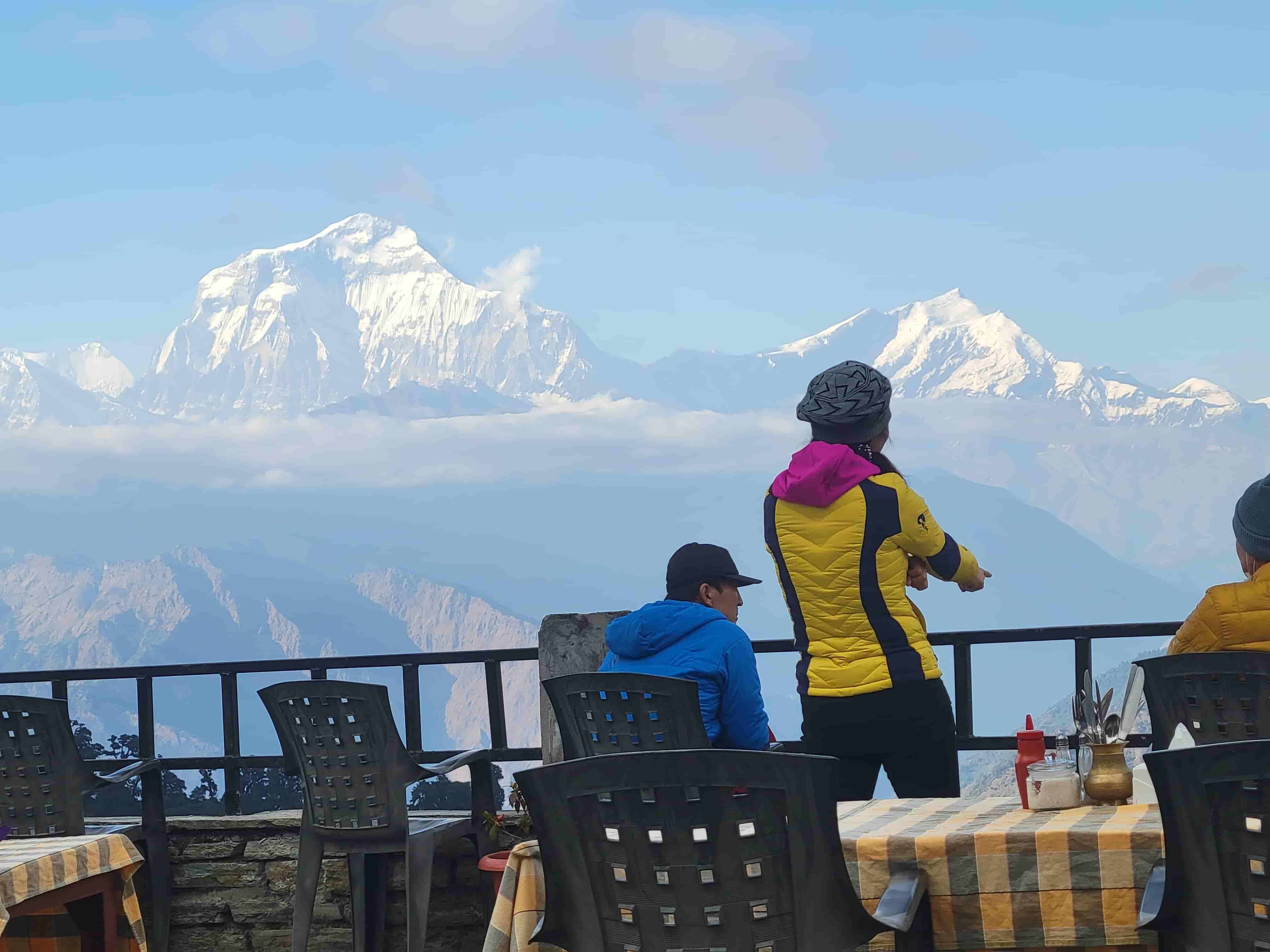
Spring Season (March–May)
Clear skies and blooming rhododendrons create ideal trekking conditions.
Autumn Season (September–November)
Stable weather and excellent visibility make autumn the most popular trekking season.
Winter and monsoon seasons bring additional challenges.
Why Trek with Northern Trekking Team
Choosing the right trekking company plays a major role in a successful Everest Base Camp experience.
Northern Trekking Team provides experienced guides, safe itineraries, and strong knowledge of the Khumbu region.
Services include:
• Experienced licensed trekking guides
• Carefully planned acclimatization schedules
• Comfortable tea house accommodations
• Emergency support and safety monitoring
Local expertise helps trekkers navigate the Everest Base Camp route safely and confidently.
Conclusion
The Everest Base Camp map provides a clear picture of one of the world’s most famous trekking journeys. The route begins in Lukla, climbs gradually through Sherpa villages, and reaches the Khumbu glacier beneath Mount Everest.
Understanding the trail, elevation profile, and daily stages helps trekkers prepare for altitude, distance, and terrain challenges.
With proper planning, the Everest Base Camp trek becomes a remarkable journey through Himalayan landscapes, culture, and adventure.
Trekkers who study the route before arrival enjoy greater confidence and appreciation for every step toward the world’s highest mountain.
Recent From Everest Base Camp Map Guide: Complete Route and Trekking Stages
Jun 27, 2022
Jun 27, 2022

Jul 19, 2022
Sep 20, 2025
Jan 03, 2023
Feb 03, 2023
Feb 17, 2023
Feb 23, 2023
Mar 03, 2023
Mar 14, 2023
Mar 20, 2023
Mar 28, 2023
Apr 06, 2023
Jul 31, 2023
Aug 28, 2023

Jan 04, 2026


Mar 10, 2026
Mar 10, 2026