10th Mar, 2026
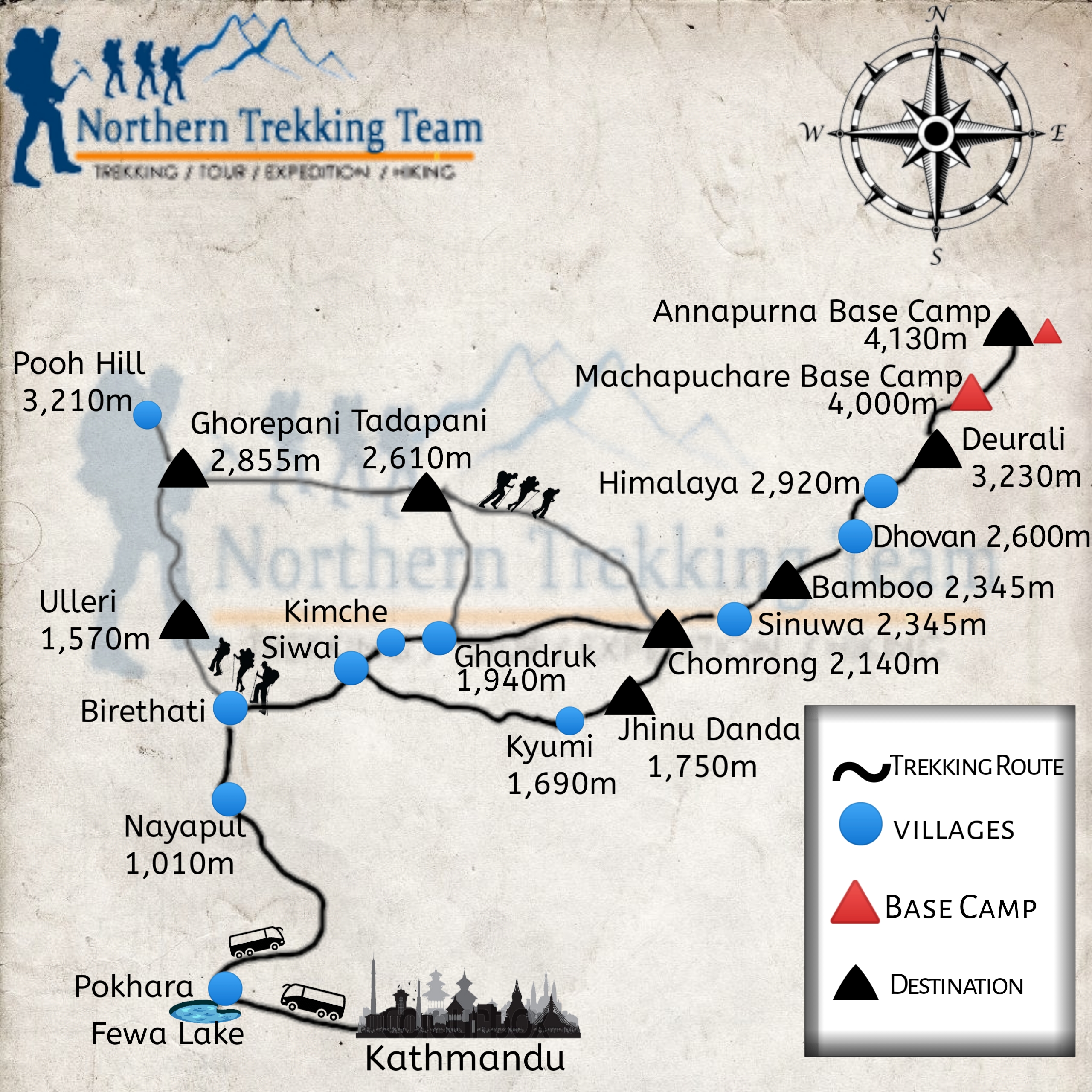
Annapurna Base Camp Trek Map and Route Guide
Complete ABC Trail Overview by Northern Trekking Team
Table of Contents
Introduction
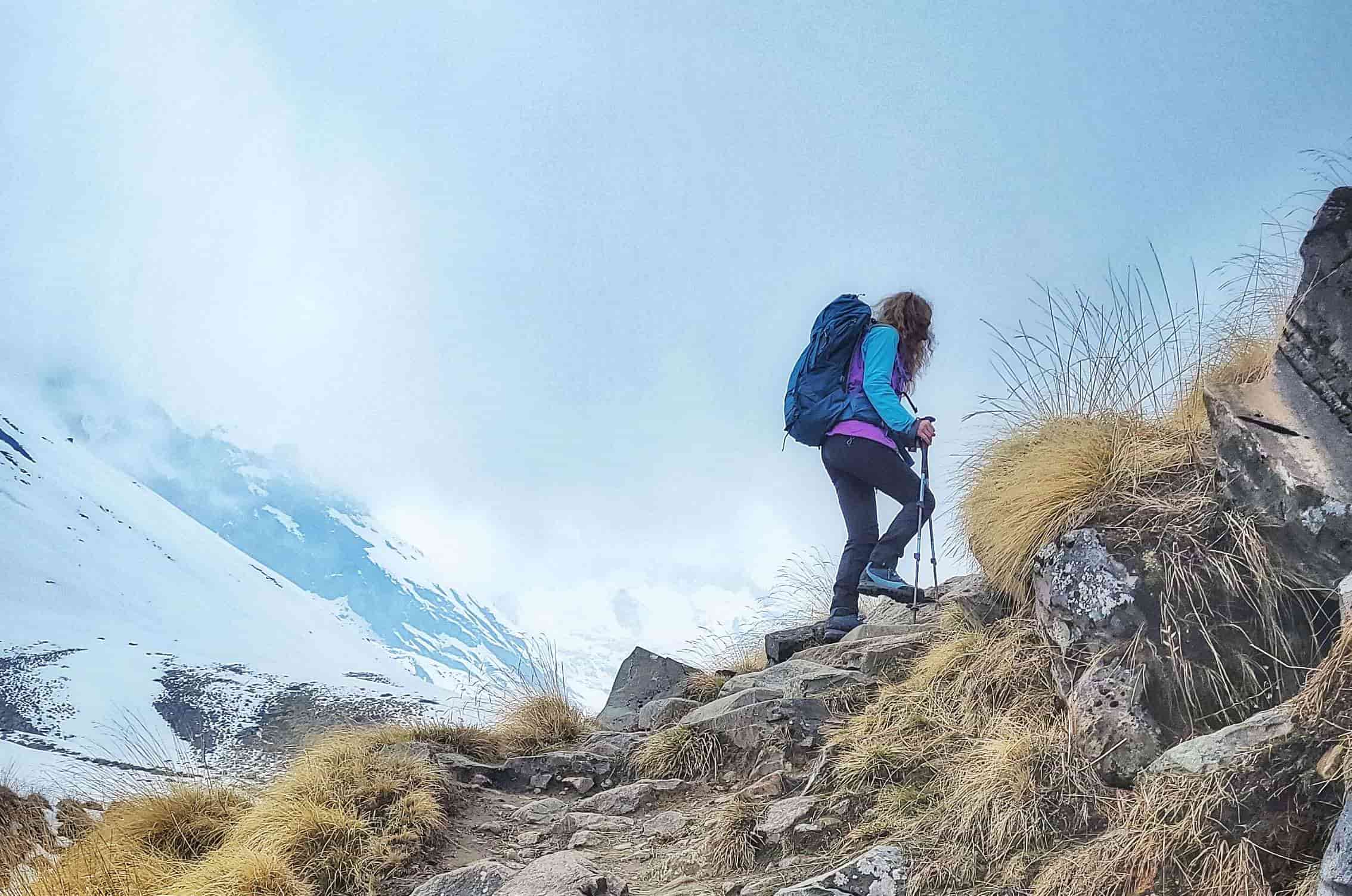
Many trekkers planning the Annapurna Base Camp journey begin with one simple question: What does the route actually look like? Understanding the Annapurna Base Camp trek map helps trekkers visualize the trail, daily walking distances, elevation gain, and major villages along the route.
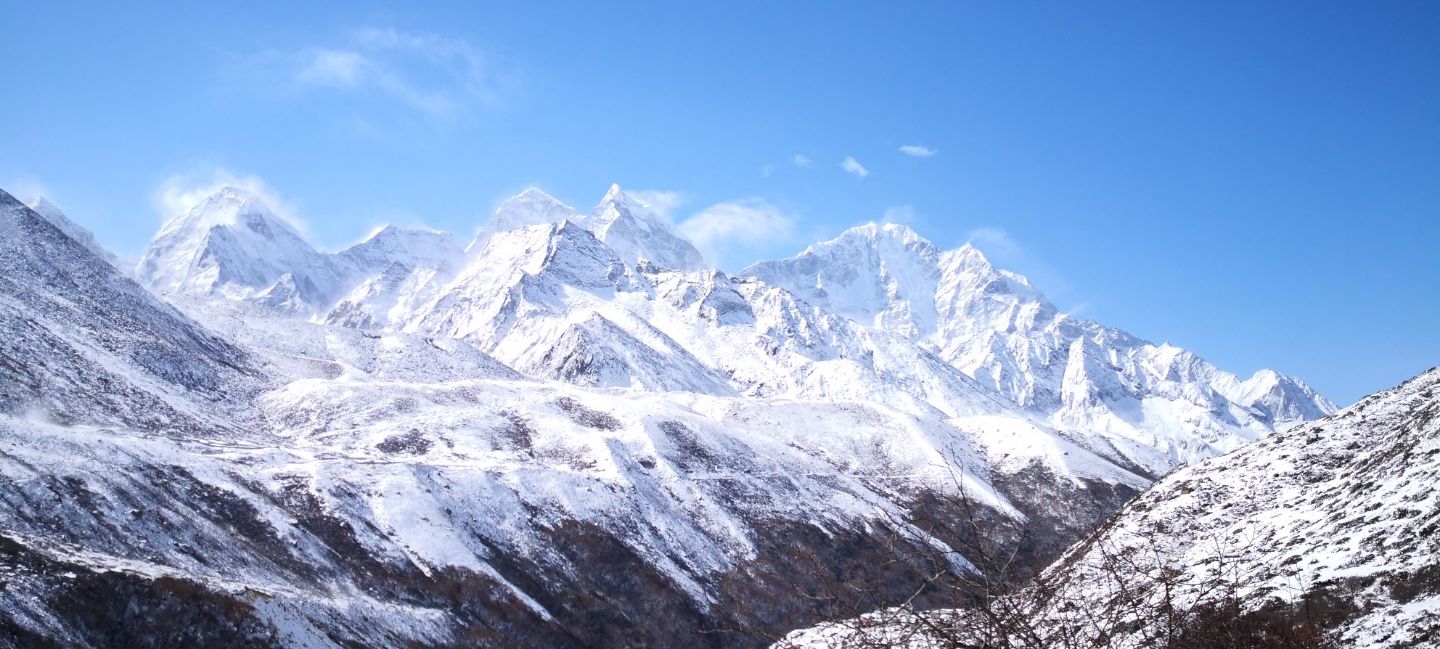
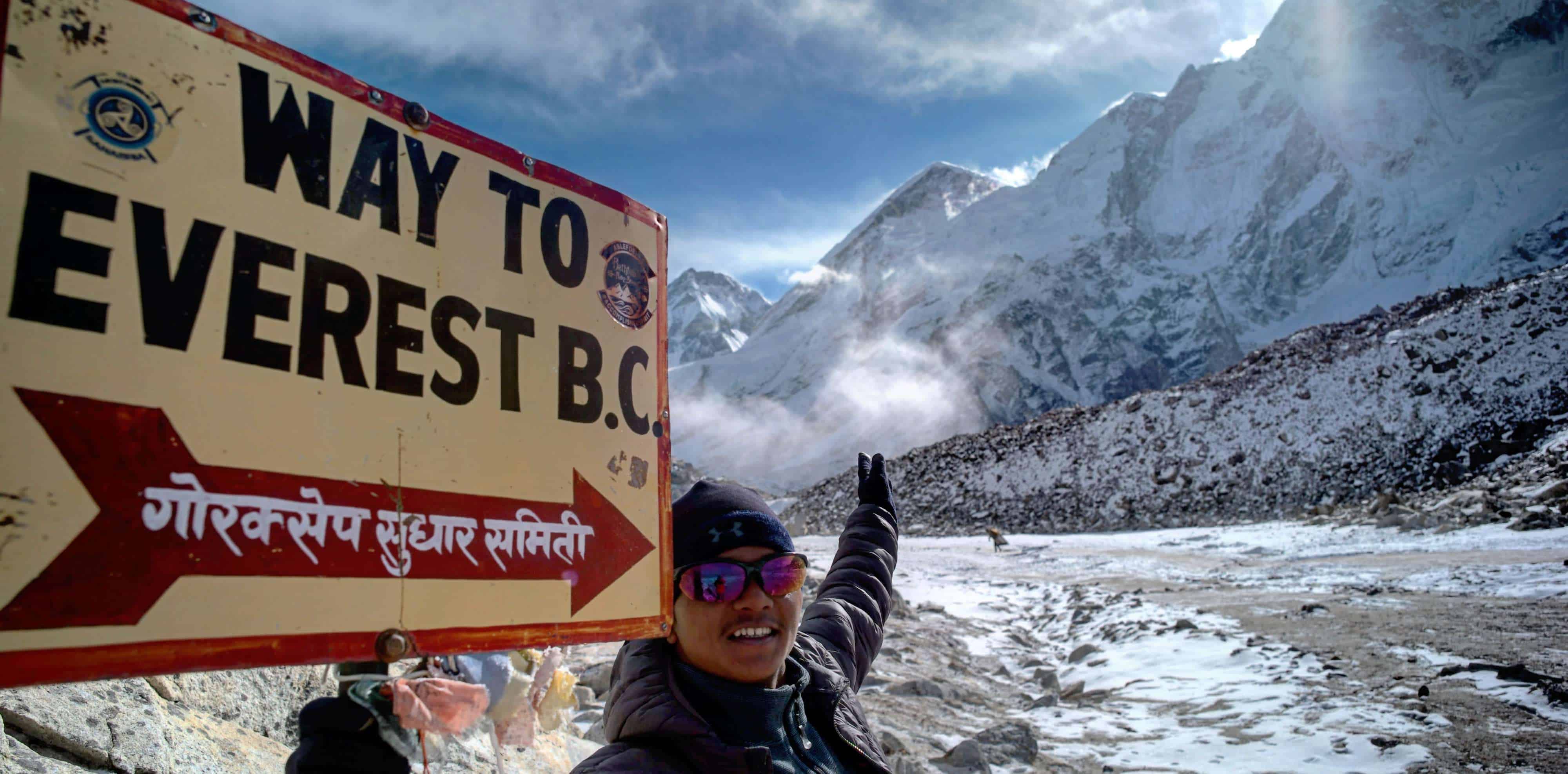
The Annapurna Base Camp trek, often called the ABC trek, leads deep into the Annapurna Sanctuary, a spectacular mountain basin surrounded by some of the highest peaks in Nepal. Trekkers walk through terraced villages, rhododendron forests, river valleys, and alpine landscapes before reaching Annapurna Base Camp at 4,130 meters.
A detailed trek map shows how the trail gradually climbs through villages such as Ghandruk, Chhomrong, and Deurali before entering the glacier valley near Machhapuchhre Base Camp.
This guide from Northern Trekking Team explains the Annapurna Base Camp trekking route, altitude profile, daily stages, distances between villages, and how the map helps trekkers prepare for the journey.
Annapurna Base Camp Trek Route Overview
The Annapurna Base Camp trek lies within the Annapurna Conservation Area, Nepal’s largest protected region. The journey typically begins from Pokhara, one of Nepal’s most popular trekking gateways.
Trekkers drive from Pokhara to the starting point at Nayapul, Jhinu Danda, or Siwai, depending on the itinerary.
Total Distance
The typical Annapurna Base Camp trek covers approximately:
• 110 kilometers round trip
• 7 to 12 days trekking duration
• Maximum altitude: 4,130 meters
Compared with the Everest Base Camp trek, the ABC trek reaches a slightly lower altitude but offers dramatic mountain scenery.
Annapurna Base Camp Trek Map: Major Trekking Stages
The Annapurna Base Camp map shows a trail that gradually climbs through villages and valleys before reaching the sanctuary.
Pokhara (822 m)
Most trekkers start their journey in Pokhara, a beautiful lakeside city located about 200 kilometers west of Kathmandu.
Pokhara serves as the main trekking hub for the Annapurna region.
Nayapul / Siwai (1,070 m)
Trekkers drive about 1.5 to 2 hours from Pokhara to reach the trekking starting point.
From here the trail follows terraced farmland and small villages.
Ghandruk (1,940 m)
Ghandruk stands as one of the most beautiful Gurung villages in Nepal.
Highlights include:
• Traditional stone houses
• Annapurna South and Machhapuchhre views
• Local culture and museums
Ghandruk also serves as a popular first overnight stop.
Chhomrong (2,170 m)
Chhomrong sits on a ridge overlooking the Modi Khola valley. The village offers excellent views of Annapurna South and Hiunchuli.
The trail descends to a river and then climbs steep stone steps into the village.
Chhomrong acts as the gateway to the Annapurna Sanctuary.
Bamboo (2,310 m)
Beyond Chhomrong the trail enters dense bamboo and rhododendron forests. The path follows the Modi Khola river valley.
Bamboo remains a quiet resting stop surrounded by forest.
Deurali (3,230 m)
The landscape begins to open as trekkers approach the higher elevations of the Annapurna Sanctuary.
Trekkers often notice colder temperatures and snow during winter and spring months.
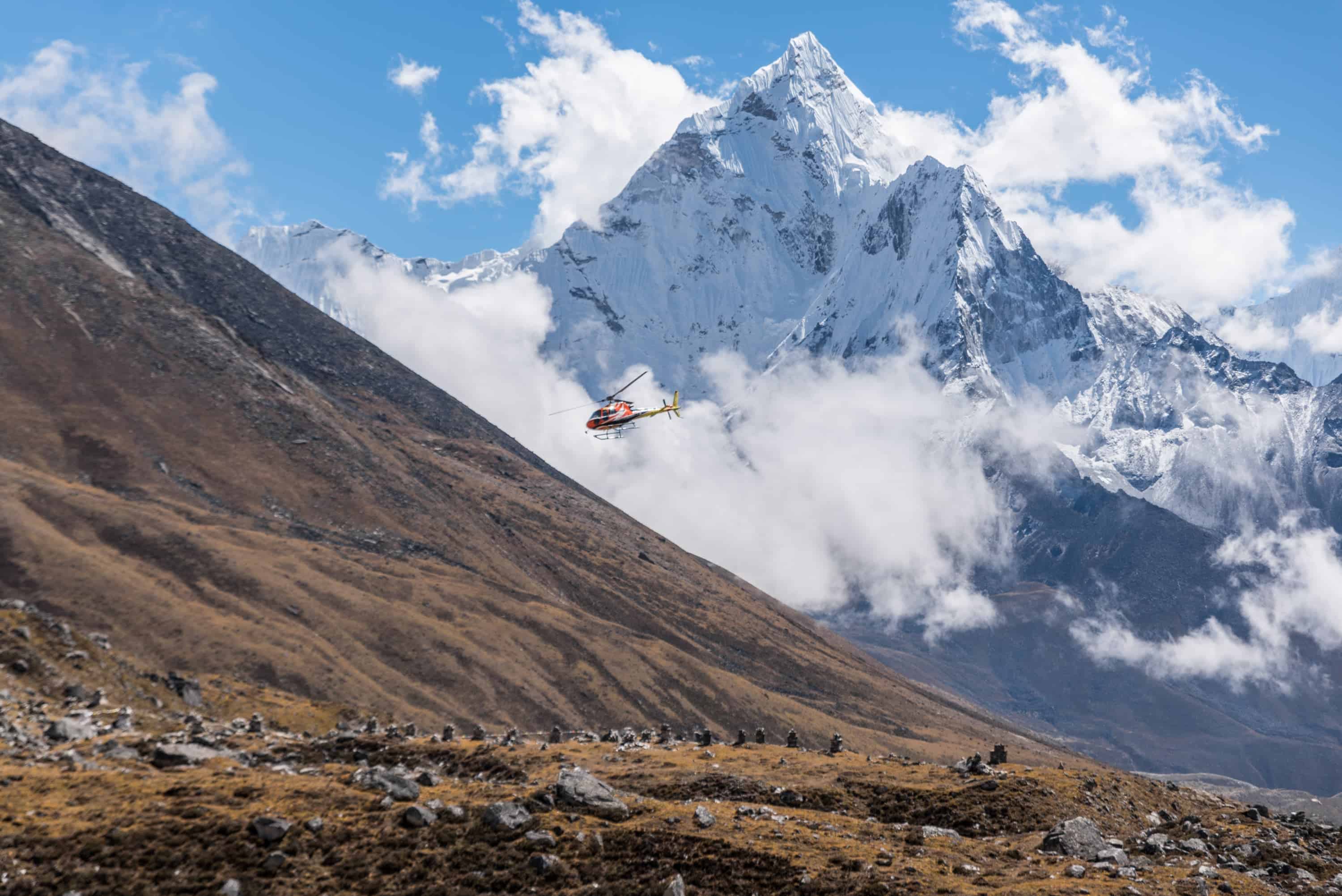
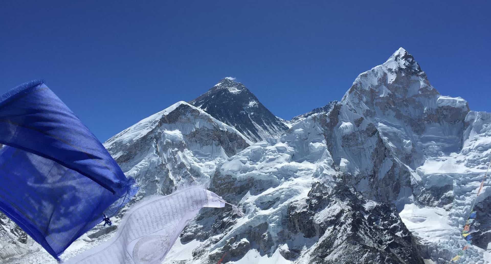
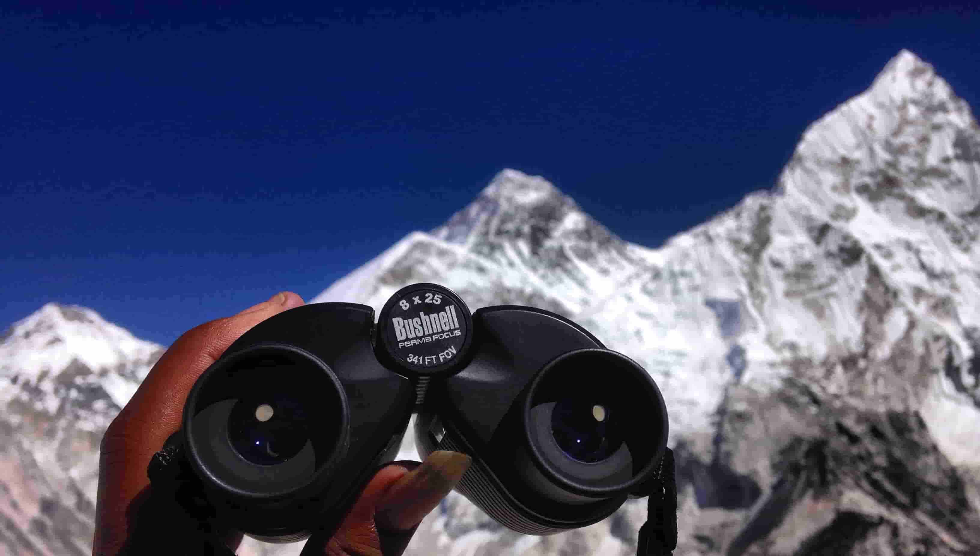
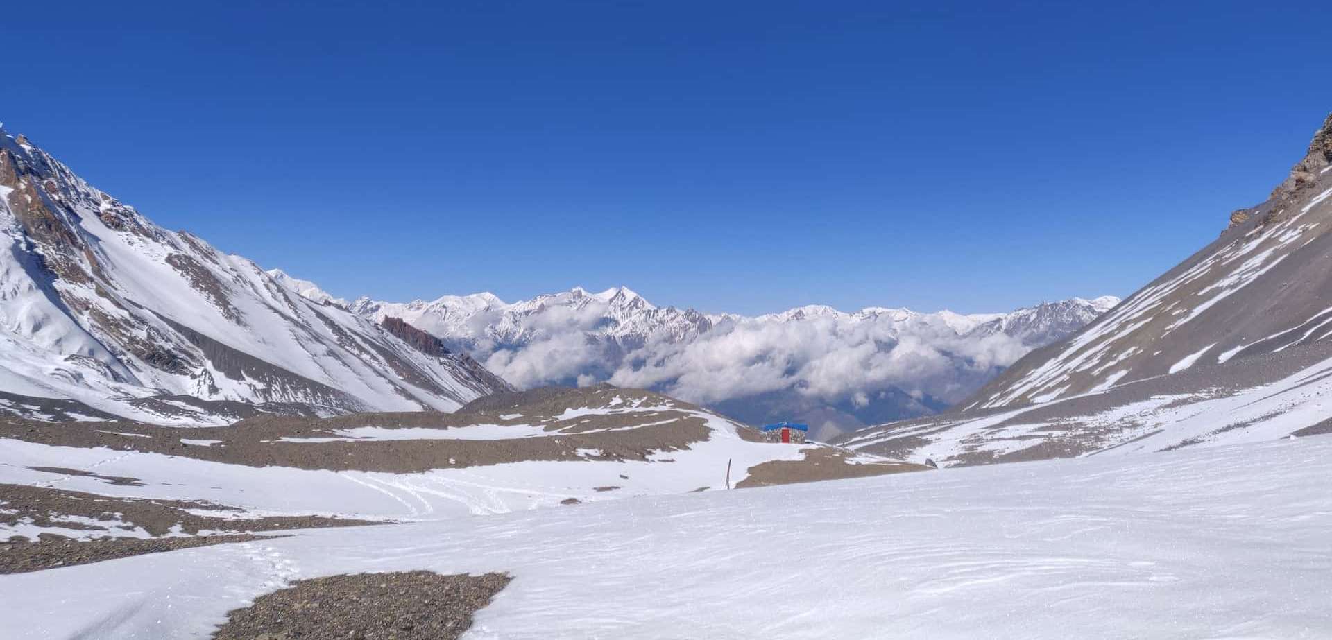
Machhapuchhre Base Camp (3,700 m)
Also known as MBC, this location provides the first panoramic views of the Annapurna Sanctuary.
Mountains visible here include:
• Machhapuchhre (Fishtail)
• Annapurna South
• Annapurna III
• Gangapurna
Trekkers usually stop briefly before continuing toward Annapurna Base Camp.
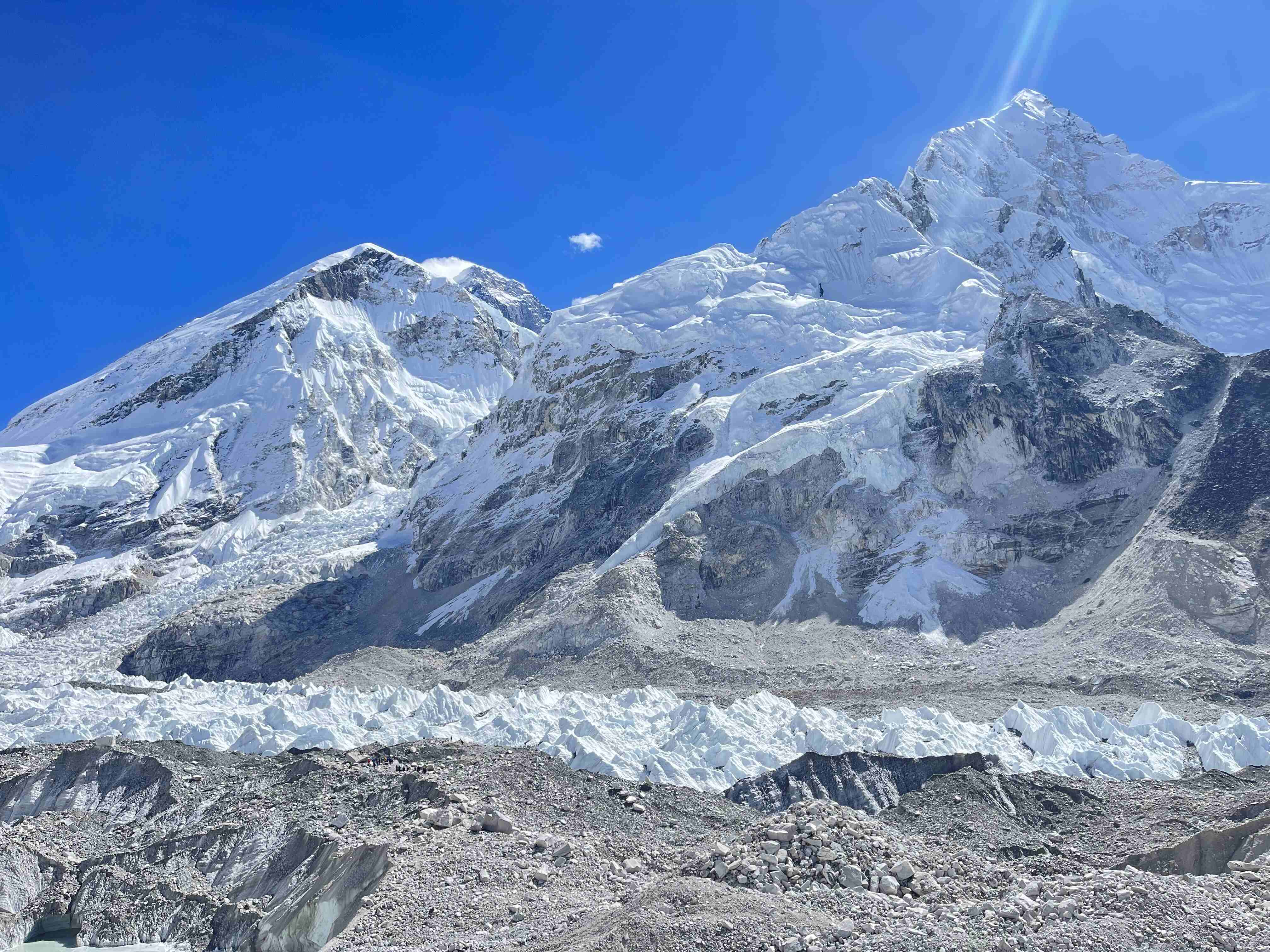
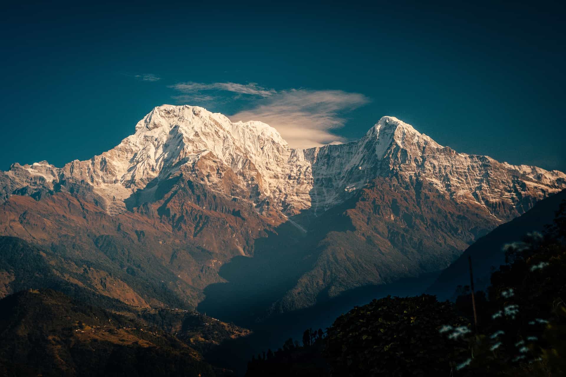
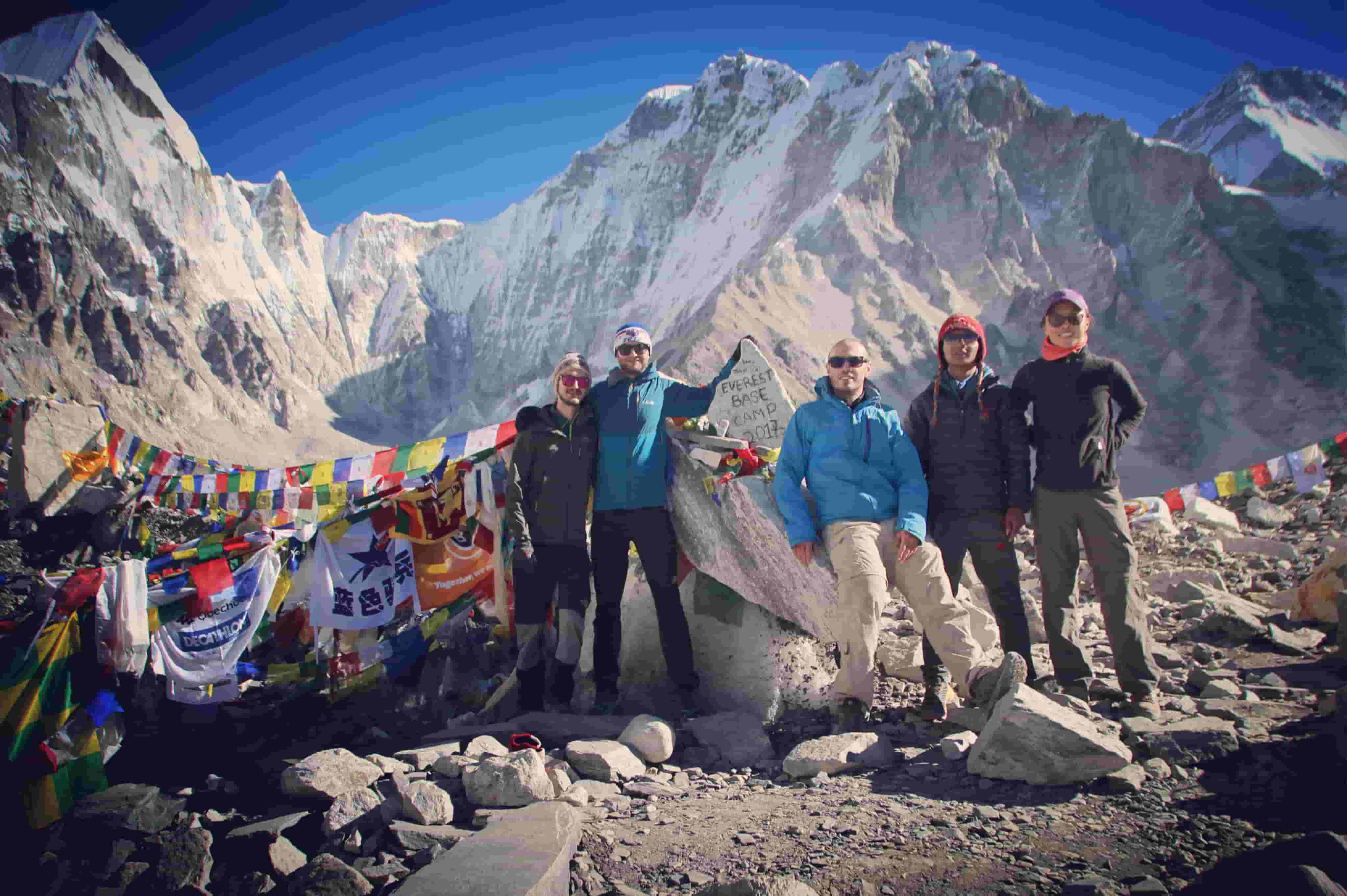
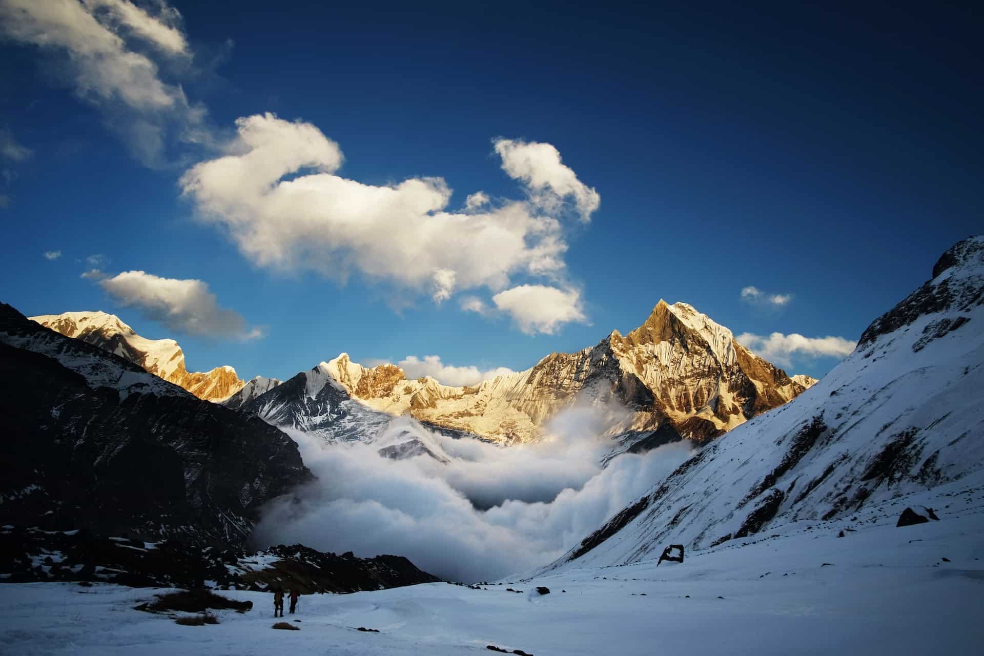
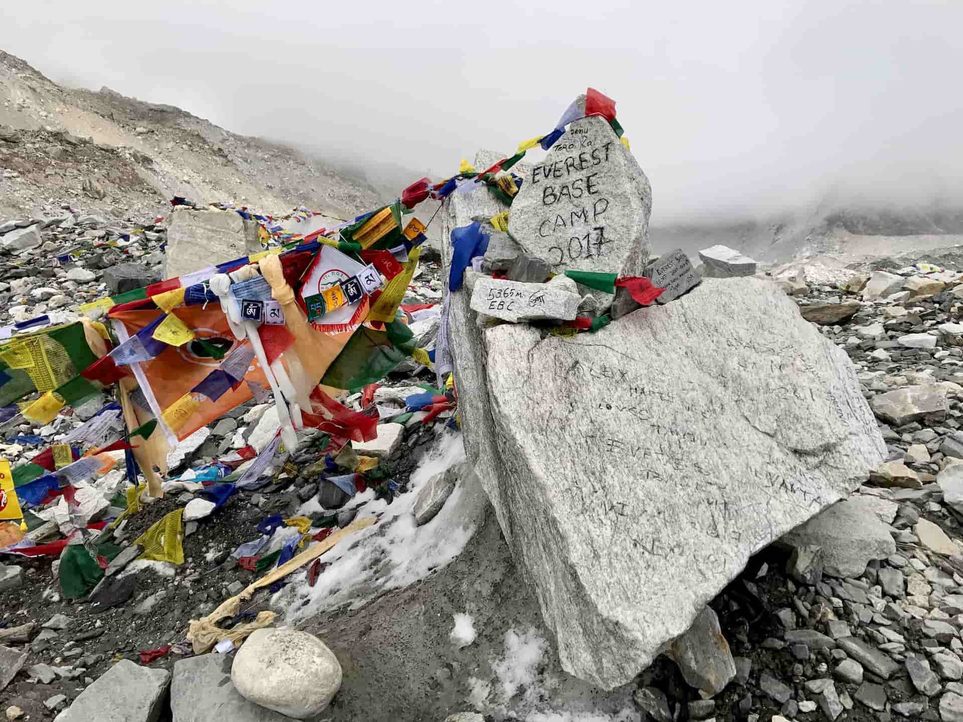
Annapurna Base Camp (4,130 m)
Annapurna Base Camp lies at the center of a natural amphitheater surrounded by Himalayan peaks.
Major mountains visible from base camp include:
• Annapurna I (8,091 m)
• Annapurna South
• Hiunchuli
• Machhapuchhre
• Gangapurna
Many trekkers wake early to watch sunrise illuminating the surrounding peaks.
Annapurna Base Camp Elevation Profile
Understanding altitude changes helps trekkers plan acclimatization and pacing.
Key elevations include:
• Pokhara – 822 m
• Ghandruk – 1,940 m
• Chhomrong – 2,170 m
• Bamboo – 2,310 m
• Deurali – 3,230 m
• Machhapuchhre Base Camp – 3,700 m
• Annapurna Base Camp – 4,130 m
Although the altitude remains lower than Everest Base Camp, trekkers still experience thin air near the sanctuary.
Distance Between Trekking Villages
Approximate walking distances along the ABC route include:
• Nayapul to Ghandruk – 10 km
• Ghandruk to Chhomrong – 9 km
• Chhomrong to Bamboo – 7 km
• Bamboo to Deurali – 8 km
• Deurali to Machhapuchhre Base Camp – 5 km
• MBC to Annapurna Base Camp – 3 km
Daily trekking hours usually range from 4 to 6 hours.
Annapurna Base Camp Trek Map Explained
Most trekking maps include several key features.
Trail Route
Maps show the main trekking path through the Modi Khola valley.
Elevation Chart
An elevation profile illustrates altitude gain between villages.
Landmarks
Important landmarks include:
• Annapurna Conservation Area
• Modi Khola River
• Annapurna Sanctuary
Rest Stops
Maps identify tea houses and villages used for overnight stays.
Best Maps for the ABC Trek
Trekkers commonly use a combination of printed maps and digital navigation tools.
Popular options include:
• Himalayan trekking maps
• National Geographic Annapurna maps
• Offline GPS apps such as Maps.me
Printed maps remain useful where mobile signals disappear.
Best Time to Trek Annapurna Base Camp
The Annapurna Base Camp route remains accessible most of the year, though weather conditions vary.
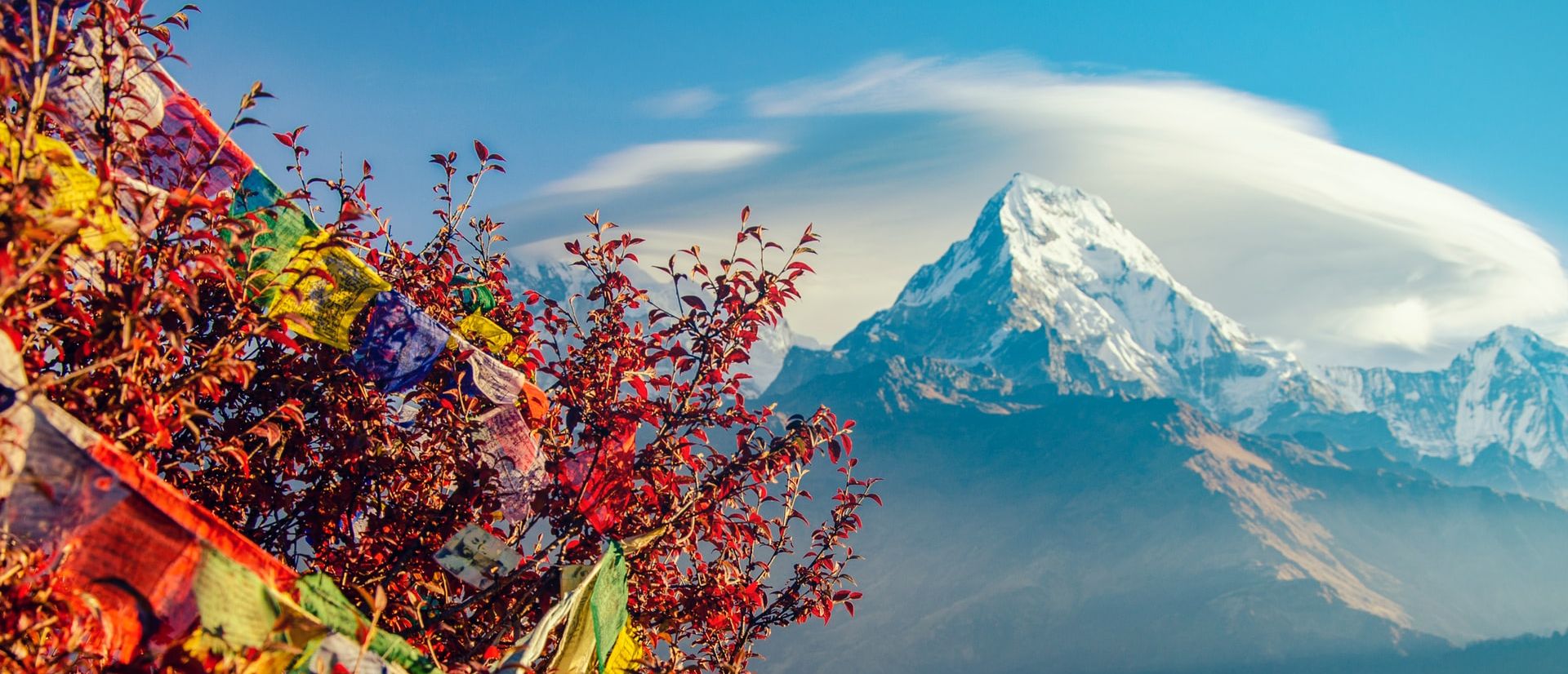
Spring Season (March to May)
• Rhododendron forests bloom
• Moderate temperatures
• Clear mountain views
Autumn Season (September to November)
• Stable weather
• Excellent visibility
• Peak trekking season
Winter treks remain possible but involve colder temperatures and snow.
Why the Annapurna Base Camp Map Matters
Studying the trekking route before departure provides several advantages.
Better Trip Planning
Trekkers understand distances and daily trekking hours.
Altitude Awareness
Elevation profiles help trekkers prepare physically.
Route Familiarity
Knowing the villages along the route increases confidence during the trek.
Realistic Expectations
Trekkers understand terrain difficulty and trekking duration.
Why Trek with Northern Trekking Team
Choosing a professional trekking company improves safety and overall trekking experience.
Northern Trekking Team offers:
• Experienced local trekking guides
• Carefully planned Annapurna Base Camp itineraries
• Comfortable tea house accommodations
• Support staff including porters and assistants
Local knowledge helps trekkers enjoy both the natural beauty and cultural heritage of the Annapurna region.
Conclusion
The Annapurna Base Camp trek map reveals one of the most beautiful trekking routes in Nepal. The trail begins in lush valleys near Pokhara and gradually climbs through Gurung villages, bamboo forests, and alpine landscapes.
Trekkers eventually reach Annapurna Base Camp, where towering Himalayan peaks surround the sanctuary in every direction.
Understanding the route, altitude profile, and daily trekking stages allows trekkers to prepare properly and enjoy the journey safely.
With the support of Northern Trekking Team, the Annapurna Base Camp trek becomes an unforgettable adventure in the heart of the Himalayas.
Recent From Annapurna Base Camp Trek Map and Route Guide
Jun 27, 2022
Jun 27, 2022

Jul 19, 2022
Sep 20, 2025
Jan 03, 2023
Feb 03, 2023
Feb 17, 2023
Feb 23, 2023
Mar 03, 2023
Mar 14, 2023
Mar 20, 2023
Mar 28, 2023
Apr 06, 2023
Jul 31, 2023
Aug 28, 2023

Jan 04, 2026


Mar 10, 2026